Chesil Beach Tide Times?

I asked CoPilot and it says:

"...Yes, the tide times for Bournemouth can be quite complex due to the influence of the English Channel. The English Channel is known for having some of the strongest and most intricate tides in Europe. This complexity arises from the interaction of various tidal harmonics and the unique topography of the region. These variations are influenced by the broader tidal patterns of the English Channel, which can lead to phenomena like double high and low tides in certain areas..."

Its response is based heavily on this article:

That makes for quite an interesting read crablante and it does specificly mention Portland having multiple low tides cheers 👍
 
This is my understanding.... On chesil the tide floods from right to left and ebbs from left to right. However due to Portland the tide will continue in the same direction for some hours after high and low. So essentially the tide could still be flooding (right to left movement) but going out and the opposite on the ebb. The tide will come to a complete stop mid tide cycle before changing direction. The timing changes depending on the tide size, so on a spring the tide stops a couple of hours before high water, starts to flood and continues for up to 4 hrs into the ebb. Neaps are more predictable, you generally only get tide movement over low and high, with hours of dead, slack water in between. This is why chesil is generally poor on neaps, unless you can grab a few over high or low. The further east you go the stranger the tide gets, with almost no tide on the spring ebb and all flood. Then more tide on neaps, this is due to the water being deflected by portland and missing out a large part of the beach. The two highs are the top of the tide and then when the tide stops moving from right to left. The first low is the lowest tide point, then the second when the tide stops it's left to right movement.
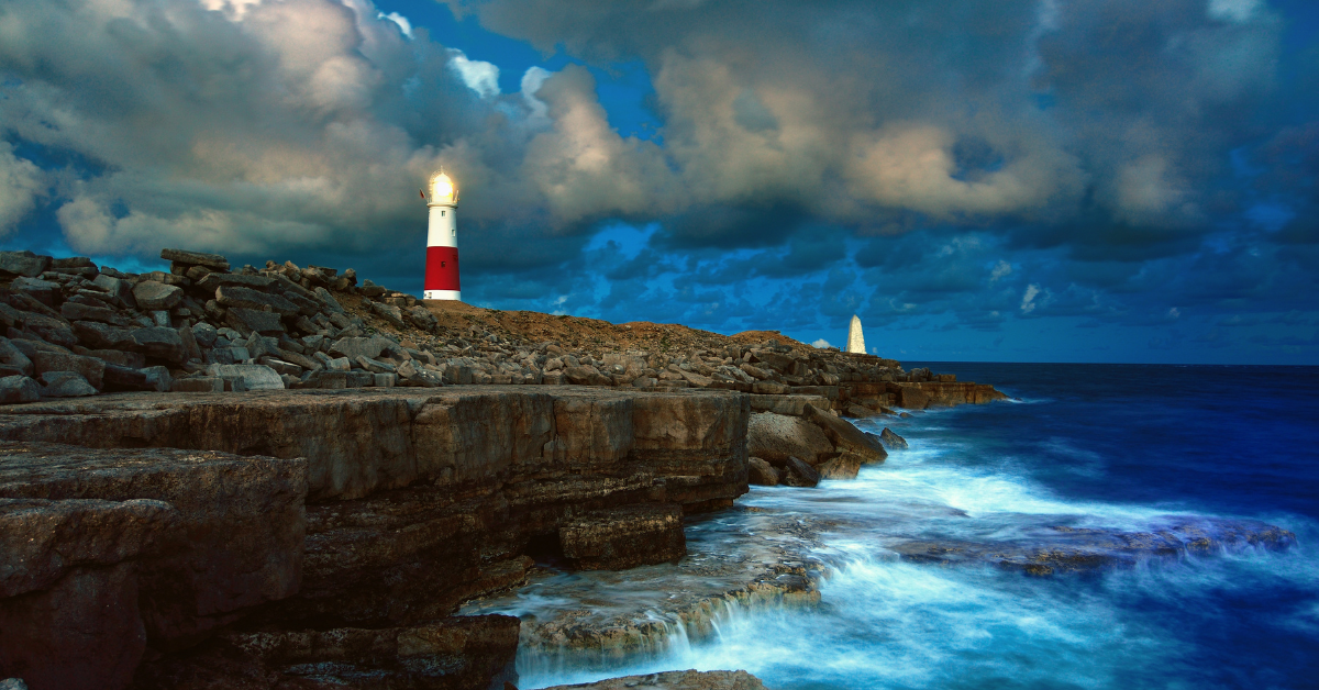
 
This is my understanding.... On chesil the tide floods from right to left and ebbs from left to right. However due to Portland the tide will continue in the same direction for some hours after high and low. So essentially the tide could still be flooding (right to left movement) but going out and the opposite on the ebb. The tide will come to a complete stop mid tide cycle before changing direction. The timing changes depending on the tide size, so on a spring the tide stops a couple of hours before high water, starts to flood and continues for up to 4 hrs into the ebb. Neaps are more predictable, you generally only get tide movement over low and high, with hours of dead, slack water in between. This is why chesil is generally poor on neaps, unless you can grab a few over high or low. The further east you go the stranger the tide gets, with almost no tide on the spring ebb and all flood. Then more tide on neaps, this is due to the water being deflected by portland and missing out a large part of the beach. The two highs are the top of the tide and then when the tide stops moving from right to left. The first low is the lowest tide point, then the second when the tide stops it's left to right movement.
That's a great explanation squidword, thanks for taking the time to share your knowledge. I found your explanation fairly easy to understand cheers 👍
 
That's a great explanation squidword, thanks for taking the time to share your knowledge. I found your explanation fairly easy to understand cheers 👍
There is a graph showing the rise and fall of the tide but I can't find it. It ties in to my explanation, so you can physically see the double high, from that you can work out when the tide stops and changes direction. Glad you managed to understand my rambling! 😂
 
There is a graph showing the rise and fall of the tide but I can't find it. It ties in to my explanation, so you can physically see the double high, from that you can work out when the tide stops and changes direction. Glad you managed to understand my rambling! 😂
I had posted a graph on a previous post that shows the extra rises and falls which I didn't understand but your explanation helped me make sense of the graph in my head 🤣
 
I now use- Hampshire tides. At the bottom of the page you can choose different counties. It’s got lots of locations on it.
 
I now use- Hampshire tides. At the bottom of the page you can choose different counties. It’s got lots of locations on it.
I prefer this site because you get graphs (which I prefer)


Write your reply...

Support Us

Support from our members means we don't need to plaster advertisements around the website! Keeping it clean and fresh! Maintaining a website such as this takes time and money, and your support helps to keep the lights on, provide new features for the website and, hopefully, make you feel warm and fuzzy!

Thank you for considering to help support our work.
Back
Top